 Tucson, Arizona
I used to think this trail was just a way to warm up before you got to the Upper 50 year trail. But in the wisdom of my years I've come to appreciate trails of all sorts, even this humble affair.
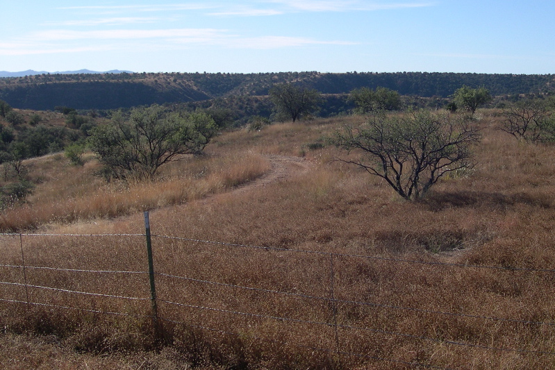
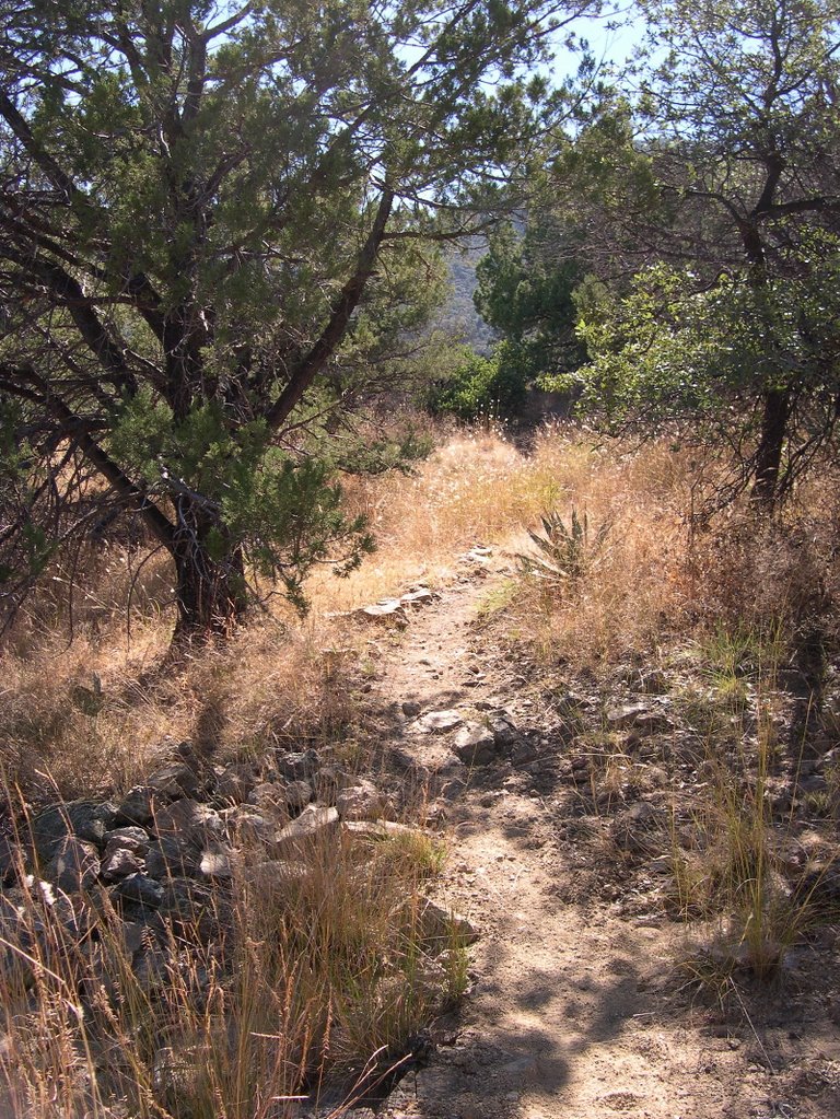
The Lower 50 Year Trail is neither thrilling nor aerobically challenging. What it is is just a mellow grind that will give you a good workout when you're not in the mood for an epic. The descent has a few rocky water bars, a few nice turns, but all in all it doesn't get your adrenaline flowing. A ride is a ride, and it's nice to mix things up sometimes. You don't always have to order a boilermaker. Sometimes, a cold one is good enough.
How to get there: Head north on Oracle road about 5 miles past the intersection of Ina and Oracle. Turn right into Catalina State Park and follow the entrance road past the booth. The first road you pass is restricted. Turn right at the second road towards two campgrounds and the Equestrian Center. The ride begins at the Equestrian Center. To avoid paying state park fees, riders typically park their cars at the Honeywell or a nearby shopping center.
Length: 13 miles. 1-2 hours. 1000 feet of elevation.
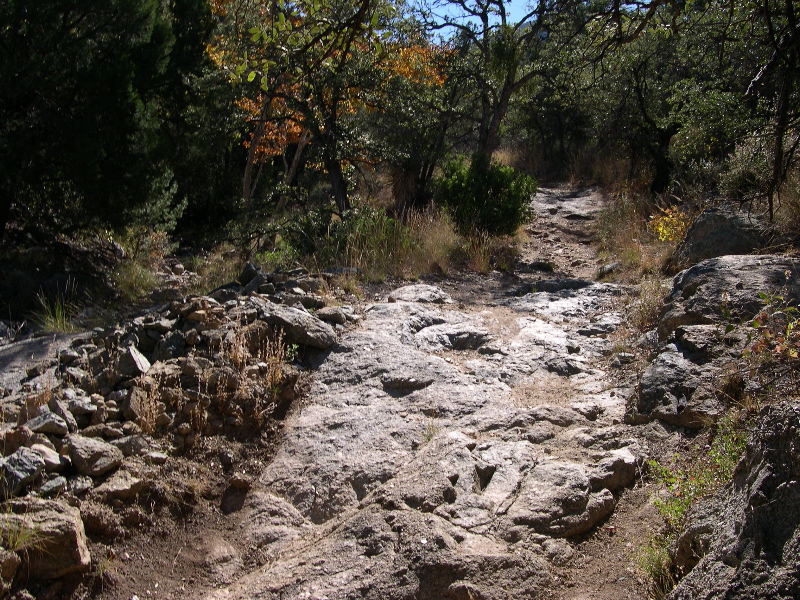
Trail Conditions: Trail is in great shape, but gets a bit sandy as you approach Golder Ranch Road.
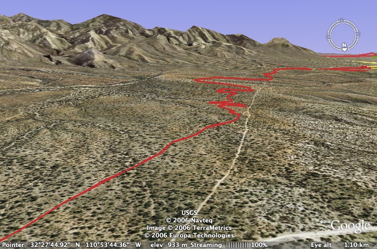
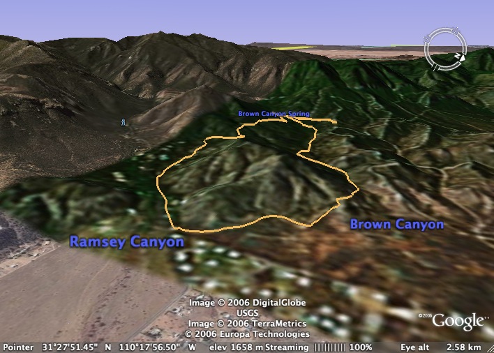
The Map: Click on the map below to head to Motionbased. There's also a good map at SDMB.
The Ride: This is a quick out-and-back after work sort of ride. The trail is super easy to follow. It winds through undulating hills from Catalina State Park up to Golder Ranch Road where you can keep going to hit the Chutes and the more technical upper section. About four miles into the trail you'll pass through a gate to exit the state park and enter cattle country. I turned around just past Equestrian Trail -- a wide chalky road. (If you turn left there, you'll come to the Golder Ranch Road parking lot.) The return trip on this 6 mile stretch is the best part of the ride, fast and smooth with a few moderate climbs.
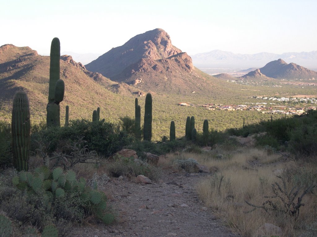
Other Options: As I mentioned above, you can turn this into a 4 hour loop if you do both the lower and upper sections of the trail. There are other tracks in the area (e.g. Baby Jesus) that I haven't had a chance to explore.


